 vesseltracker.com
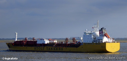
Vessel Stolt Sea IMO: 9149495, MMSI: 319478000 Chemical Oil Products Tanker
UTC, 6.33956, 85.43989, course: 258, speed: 14
UTC, 6.24282, 84.87409, course: 259, speed: 13.7
2026-02-18 14:02:40 UTC, 6.14667, 84.30833, course: -1, speed: 13
Live AIS position:
UTC. 102 nm W of Abakaliki),
updated 2026-02-18 14:02:40 UTC.
Find the position of the vessel Stolt Sea on the map. The latter are known coordinates and path.
marine traffic ship tracker show on live map
The current position of vessel Stolt Sea is 6.14667 lat / 84.30833 lng. Updated: 2026-02-18 14:02:40 UTCDetails:
Last coordinates of the vessel:
UTC, 6.39500, 85.74166, course: -1, speed: 14UTC, 6.33956, 85.43989, course: 258, speed: 14
UTC, 6.24282, 84.87409, course: 259, speed: 13.7
2026-02-18 14:02:40 UTC, 6.14667, 84.30833, course: -1, speed: 13