 vesseltracker.com
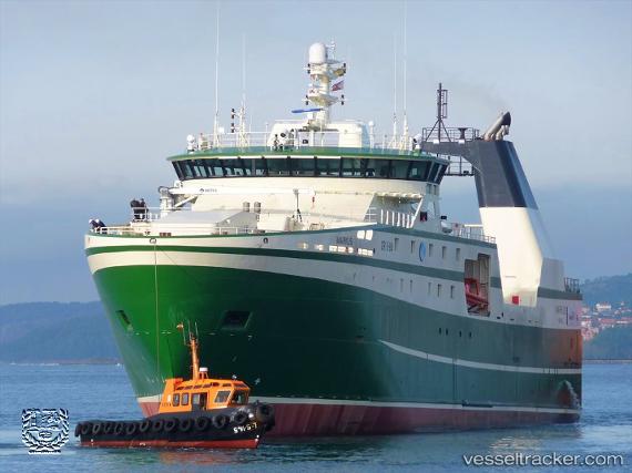
Vessel Markus IMO: 9826706, MMSI: 331769000 Fishing Vessel
UTC, 66.56172, -30.53355, course: 192, speed: 2.4
UTC, 66.55333, -30.54333, course: -1, speed: 2
2026-02-11 07:58:00 UTC, 66.61167, -30.58833, course: -1, speed: 3
Live AIS position:
UTC. 162 nm E of Kuummiut),
updated 2026-02-11 07:58:00 UTC.
Find the position of the vessel Markus on the map. The latter are known coordinates and path.
marine traffic ship tracker show on live map
The current position of vessel Markus is 66.61167 lat / -30.58833 lng. Updated: 2026-02-11 07:58:00 UTCDetails:
Last coordinates of the vessel:
UTC, 66.65500, -30.50667, course: -1, speed: 2UTC, 66.56172, -30.53355, course: 192, speed: 2.4
UTC, 66.55333, -30.54333, course: -1, speed: 2
2026-02-11 07:58:00 UTC, 66.61167, -30.58833, course: -1, speed: 3