 vesseltracker.com
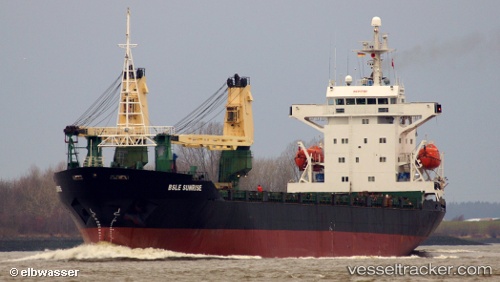
Vessel RIDER IMO: 9017628, MMSI: 341155002 General Cargo
UTC, 10.43670, 44.99336, course: 245, speed: 0
UTC, 10.43670, 44.99336, course: 245, speed: 0
2026-03-02 00:32:26 UTC, 10.43670, 44.99336, course: 245, speed: 0
Live AIS position:
UTC. Near Berbera),
updated 2026-03-02 00:32:26 UTC.
Find the position of the vessel RIDER on the map. The latter are known coordinates and path.
marine traffic ship tracker show on live map
The current position of vessel RIDER is 10.43670 lat / 44.99336 lng. Updated: 2026-03-02 00:32:26 UTCCurrently sailing under the flag of Saint Kitts and Nevis
Details:
Last coordinates of the vessel:
UTC, 10.43670, 44.99337, course: 245, speed: 0UTC, 10.43670, 44.99336, course: 245, speed: 0
UTC, 10.43670, 44.99336, course: 245, speed: 0
2026-03-02 00:32:26 UTC, 10.43670, 44.99336, course: 245, speed: 0