 vesseltracker.com
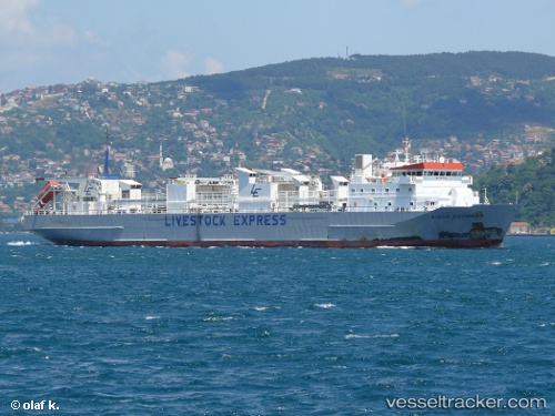
Vessel MV:ADRIATIC ROSE IMO: 9115949, MMSI: 341277002 Livestock Carrier
UTC, -28.90888, -44.94150, course: 224, speed: 14.5
UTC, -29.17178, -45.21602, course: 226, speed: 14.1
2026-02-25 15:32:58 UTC, -29.54913, -45.61330, course: 223, speed: 14
Live AIS position:
UTC. 178 nm SE of Imbituba),
updated 2026-02-25 15:32:58 UTC.
Find the position of the vessel MV:ADRIATIC ROSE on the map. The latter are known coordinates and path.
marine traffic ship tracker show on live map
The current position of vessel MV:ADRIATIC ROSE is -29.54913 lat / -45.61330 lng. Updated: 2026-02-25 15:32:58 UTCCurrently sailing under the flag of Saint Kitts and Nevis
Details:
Last coordinates of the vessel:
UTC, -28.62518, -44.64894, course: 225, speed: 14.3UTC, -28.90888, -44.94150, course: 224, speed: 14.5
UTC, -29.17178, -45.21602, course: 226, speed: 14.1
2026-02-25 15:32:58 UTC, -29.54913, -45.61330, course: 223, speed: 14