 vesseltracker.com
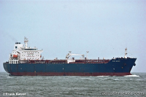
Vessel GREEN LAND IMO: 9246449, MMSI: 341444001 Oil/Chemical Tanker
UTC, 1.15804, 103.95158, course: 75, speed: 0
UTC, 1.15773, 103.95171, course: 61, speed: 0
2026-03-01 18:18:08 UTC, 1.15751, 103.95191, course: -1, speed: 0.2
Live AIS position:
UTC. Near Sekupang),
updated 2026-03-01 18:18:08 UTC.
Find the position of the vessel GREEN LAND on the map. The latter are known coordinates and path.
marine traffic ship tracker show on live map
The current position of vessel GREEN LAND is 1.15751 lat / 103.95191 lng. Updated: 2026-03-01 18:18:08 UTCCurrently sailing under the flag of Saint Kitts and Nevis
Details:
Last coordinates of the vessel:
UTC, 1.15777, 103.95161, course: 64, speed: 0.1UTC, 1.15804, 103.95158, course: 75, speed: 0
UTC, 1.15773, 103.95171, course: 61, speed: 0
2026-03-01 18:18:08 UTC, 1.15751, 103.95191, course: -1, speed: 0.2