 vesseltracker.com
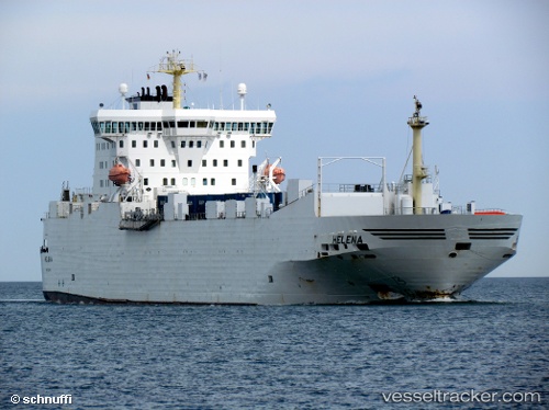
Vessel PEACELAND IMO: 8903155, MMSI: 341471001 Ro-Ro Cargo
UTC, 30.06147, 47.92613, course: 143, speed: 0
UTC, 30.06151, 47.92612, course: 142, speed: 0
2026-02-27 16:13:58 UTC, 30.06149, 47.92614, course: 143, speed: 0
Live AIS position:
UTC. Near Umm Qasr Port),
updated 2026-02-27 16:13:58 UTC.
Find the position of the vessel PEACELAND on the map. The latter are known coordinates and path.
marine traffic ship tracker show on live map
The current position of vessel PEACELAND is 30.06149 lat / 47.92614 lng. Updated: 2026-02-27 16:13:58 UTCCurrently sailing under the flag of Saint Kitts and Nevis
Details:
Last coordinates of the vessel:
UTC, 30.06147, 47.92614, course: 143, speed: 0UTC, 30.06147, 47.92613, course: 143, speed: 0
UTC, 30.06151, 47.92612, course: 142, speed: 0
2026-02-27 16:13:58 UTC, 30.06149, 47.92614, course: 143, speed: 0