 vesseltracker.com
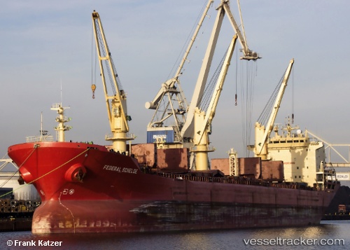
Vessel YARA J IMO: 9118147, MMSI: 341595001 Bulk Carrier
UTC, 22.20001, 68.59550, course: 121, speed: 0.4
UTC, 22.20050, 68.59599, course: 144, speed: 0.2
2026-03-05 05:42:52 UTC, 22.20067, 68.59650, course: 157, speed: 0.4
Live Vessel YARA J Analytics (details, animations, etc.)
Live AIS position: UTC. 32 nm SW of Okha), updated 2026-03-05 05:42:52 UTC.Find the position of the vessel YARA J on the map. The latter are known coordinates and path.
marine traffic ship tracker show on live map
The current position of vessel YARA J is 22.20067 lat / 68.59650 lng. Updated: 2026-03-05 05:42:52 UTCCurrently sailing under the flag of Saint Kitts and Nevis
Details:
Last coordinates of the vessel:
UTC, 22.19933, 68.59517, course: 102, speed: 0UTC, 22.20001, 68.59550, course: 121, speed: 0.4
UTC, 22.20050, 68.59599, course: 144, speed: 0.2
2026-03-05 05:42:52 UTC, 22.20067, 68.59650, course: 157, speed: 0.4