 vesseltracker.com
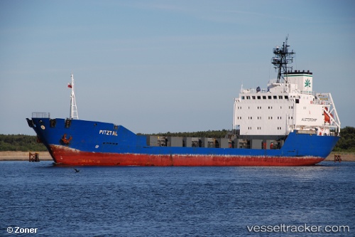
Vessel ASMAR IMO: 8918708, MMSI: 341639000 General Cargo
UTC, 35.92624, 28.69248, course: -1, speed: 8.5
UTC, 35.74562, 28.81987, course: -1, speed: 8.1
2026-03-01 09:47:23 UTC, 35.74562, 28.81987, course: -1, speed: 8.1
Live AIS position:
UTC. 41 nm SE of LINDOS),
updated 2026-03-01 09:47:23 UTC.
Find the position of the vessel ASMAR on the map. The latter are known coordinates and path.
marine traffic ship tracker show on live map
The current position of vessel ASMAR is 35.74562 lat / 28.81987 lng. Updated: 2026-03-01 09:47:23 UTCCurrently sailing under the flag of Saint Kitts and Nevis
Details:
Last coordinates of the vessel:
UTC, 36.21380, 28.47874, course: -1, speed: 8.6UTC, 35.92624, 28.69248, course: -1, speed: 8.5
UTC, 35.74562, 28.81987, course: -1, speed: 8.1
2026-03-01 09:47:23 UTC, 35.74562, 28.81987, course: -1, speed: 8.1