 vesseltracker.com
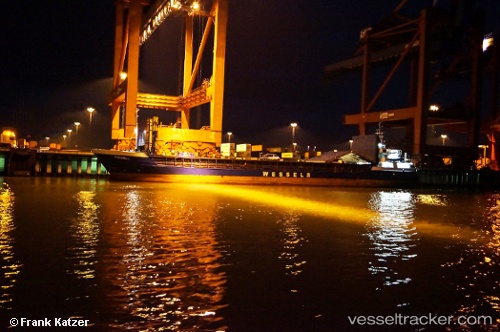
Vessel RIWAL IMO: 9051208, MMSI: 341853001 General Cargo
UTC, 36.39269, 35.45582, course: -1, speed: 8.3
UTC, 36.13797, 34.13648, course: 262, speed: 5.1
2026-02-28 20:40:42 UTC, 36.10216, 33.97038, course: 281, speed: 8.6
Live AIS position:
UTC. 13 nm S of TASUCU),
updated 2026-02-28 20:40:42 UTC.
Find the position of the vessel RIWAL on the map. The latter are known coordinates and path.
marine traffic ship tracker show on live map
The current position of vessel RIWAL is 36.10216 lat / 33.97038 lng. Updated: 2026-02-28 20:40:42 UTCCurrently sailing under the flag of Saint Kitts and Nevis
Details:
Last coordinates of the vessel:
UTC, 36.39269, 35.45582, course: -1, speed: 8.3UTC, 36.39269, 35.45582, course: -1, speed: 8.3
UTC, 36.13797, 34.13648, course: 262, speed: 5.1
2026-02-28 20:40:42 UTC, 36.10216, 33.97038, course: 281, speed: 8.6