 vesseltracker.com
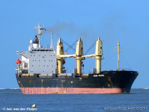
Vessel MED ROSE IMO: 9136565, MMSI: 341869001 General Cargo
UTC, 17.15667, 40.54500, course: -1, speed: 11
UTC, 17.55833, 40.14833, course: -1, speed: 11
2026-03-04 15:59:47 UTC, 17.76754, 39.93427, course: -1, speed: 11.6
Live Vessel MED ROSE Analytics (details, animations, etc.)
Live AIS position: UTC. 100 nm W of Al Qahmah), updated 2026-03-04 15:59:47 UTC.Find the position of the vessel MED ROSE on the map. The latter are known coordinates and path.
marine traffic ship tracker show on live map
The current position of vessel MED ROSE is 17.76754 lat / 39.93427 lng. Updated: 2026-03-04 15:59:47 UTCCurrently sailing under the flag of Saint Kitts and Nevis
Details:
Last coordinates of the vessel:
UTC, 16.85263, 40.83940, course: -1, speed: 10.8UTC, 17.15667, 40.54500, course: -1, speed: 11
UTC, 17.55833, 40.14833, course: -1, speed: 11
2026-03-04 15:59:47 UTC, 17.76754, 39.93427, course: -1, speed: 11.6