 vesseltracker.com
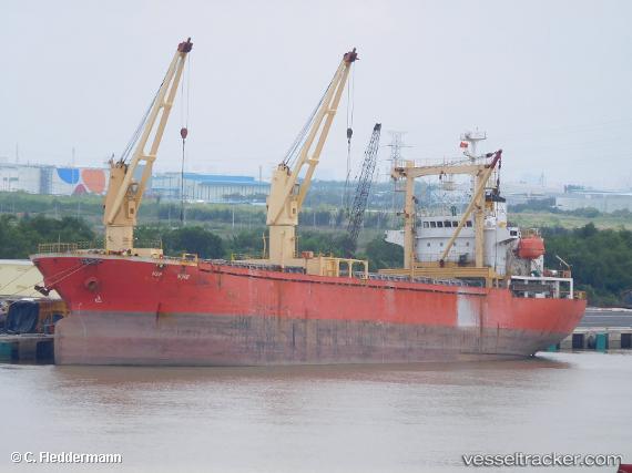
Vessel GREENWAY IMO: 9217876, MMSI: 341878001 General Cargo
UTC, 40.96411, 27.50715, course: -1, speed: 0
UTC, 40.96413, 27.50718, course: -1, speed: 0
2026-03-02 01:44:10 UTC, 40.96410, 27.50719, course: -1, speed: 0
Live AIS position:
UTC. Near TEKIRDAG),
updated 2026-03-02 01:44:10 UTC.
Find the position of the vessel GREENWAY on the map. The latter are known coordinates and path.
marine traffic ship tracker show on live map
The current position of vessel GREENWAY is 40.96410 lat / 27.50719 lng. Updated: 2026-03-02 01:44:10 UTCCurrently sailing under the flag of Saint Kitts and Nevis
Details:
Last coordinates of the vessel:
UTC, 40.96413, 27.50715, course: -1, speed: 0UTC, 40.96411, 27.50715, course: -1, speed: 0
UTC, 40.96413, 27.50718, course: -1, speed: 0
2026-03-02 01:44:10 UTC, 40.96410, 27.50719, course: -1, speed: 0