 vesseltracker.com
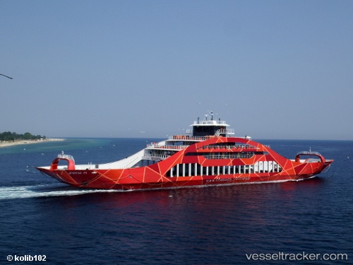
Vessel IB ATLANTIC II IMO: 9800128, MMSI: 341958001 Passenger
UTC, 4.18667, -6.48833, course: -1, speed: 5
UTC, 4.19333, -6.09833, course: -1, speed: 5
2026-02-25 23:01:09 UTC, 4.19833, -6.00333, course: -1, speed: 5
Live AIS position:
UTC. 45 nm S of Sassandra),
updated 2026-02-25 23:01:09 UTC.
Find the position of the vessel IB ATLANTIC II on the map. The latter are known coordinates and path.
marine traffic ship tracker show on live map
The current position of vessel IB ATLANTIC II is 4.19833 lat / -6.00333 lng. Updated: 2026-02-25 23:01:09 UTCCurrently sailing under the flag of Saint Kitts and Nevis
Details:
Last coordinates of the vessel:
UTC, 4.17500, -6.67667, course: -1, speed: 4UTC, 4.18667, -6.48833, course: -1, speed: 5
UTC, 4.19333, -6.09833, course: -1, speed: 5
2026-02-25 23:01:09 UTC, 4.19833, -6.00333, course: -1, speed: 5