 vesseltracker.com
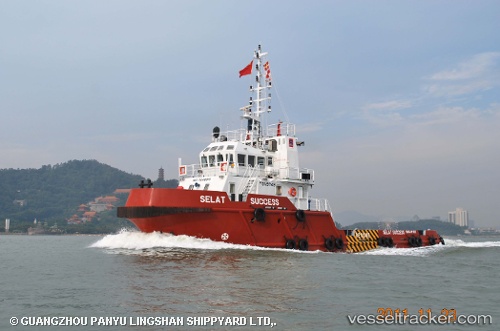
Vessel SEA SCARF 1 IMO: 9646015, MMSI: 341994000 Tug
UTC, 24.64796, 54.21807, course: 346, speed: 4.1
UTC, 24.70028, 54.02883, course: 270, speed: 4.4
2026-02-11 06:53:09 UTC, 24.69852, 53.82645, course: 261, speed: 3.7
Live AIS position:
UTC. 22 nm NE of Mubarraz Island),
updated 2026-02-11 06:53:09 UTC.
Find the position of the vessel SEA SCARF 1 on the map. The latter are known coordinates and path.
marine traffic ship tracker show on live map
The current position of vessel SEA SCARF 1 is 24.69852 lat / 53.82645 lng. Updated: 2026-02-11 06:53:09 UTCCurrently sailing under the flag of St.Kitts and Nevis
SEA SCARF 1 built in 2011 year
Deadweight:
308 tDetails:
Last coordinates of the vessel:
UTC, 24.57956, 54.24874, course: 10, speed: 3.3UTC, 24.64796, 54.21807, course: 346, speed: 4.1
UTC, 24.70028, 54.02883, course: 270, speed: 4.4
2026-02-11 06:53:09 UTC, 24.69852, 53.82645, course: 261, speed: 3.7