 vesseltracker.com
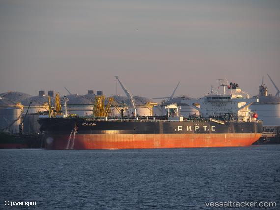
Vessel Sea Icon IMO: 9806615, MMSI: 351354000 Crude Oil Tanker
UTC, 37.62037, -11.67604, course: 196, speed: 13.5
UTC, 37.19297, -11.83487, course: 196, speed: 13.9
2026-02-28 09:17:53 UTC, 36.88300, -11.94513, course: 198, speed: 13.9
Live AIS position:
UTC. 101 nm SW of Los Ramos),
updated 2026-02-28 09:17:53 UTC.
Find the position of the vessel Sea Icon on the map. The latter are known coordinates and path.
marine traffic ship tracker show on live map
The current position of vessel Sea Icon is 36.88300 lat / -11.94513 lng. Updated: 2026-02-28 09:17:53 UTCDetails:
Last coordinates of the vessel:
UTC, 38.09798, -11.50833, course: -1, speed: 13.5UTC, 37.62037, -11.67604, course: 196, speed: 13.5
UTC, 37.19297, -11.83487, course: 196, speed: 13.9
2026-02-28 09:17:53 UTC, 36.88300, -11.94513, course: 198, speed: 13.9