 vesseltracker.com
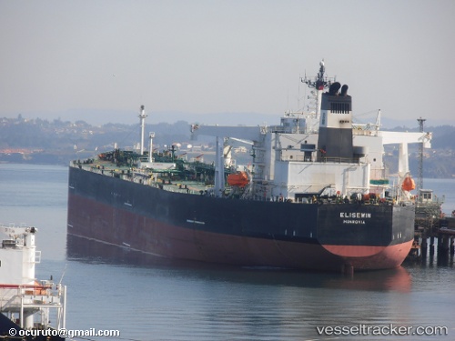
Vessel ASTARI I IMO: 9241683, MMSI: 352001581 Crude Oil Tanker
UTC, 6.01656, 90.17469, course: 78, speed: 9
UTC, 6.01656, 90.17469, course: 78, speed: 9
2026-02-27 07:35:34 UTC, 6.01656, 90.17469, course: 78, speed: 9
Live AIS position:
UTC. 250 nm E of Abakaliki),
updated 2026-02-27 07:35:34 UTC.
Find the position of the vessel ASTARI I on the map. The latter are known coordinates and path.
marine traffic ship tracker show on live map
The current position of vessel ASTARI I is 6.01656 lat / 90.17469 lng. Updated: 2026-02-27 07:35:34 UTCCurrently sailing under the flag of Panama
ASTARI I built in 2002 year
Deadweight:
149991 tDetails:
Last coordinates of the vessel:
UTC, 5.99607, 89.97130, course: 82, speed: 9.3UTC, 6.01656, 90.17469, course: 78, speed: 9
UTC, 6.01656, 90.17469, course: 78, speed: 9
2026-02-27 07:35:34 UTC, 6.01656, 90.17469, course: 78, speed: 9