 vesseltracker.com
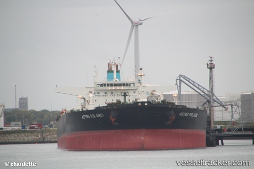
Vessel AQUILA II IMO: 9281152, MMSI: 352001694 Crude Oil Tanker
UTC, 16.95425, 65.88030, course: 325, speed: 8.9
UTC, 17.03185, 65.79195, course: 320, speed: 5.3
2026-02-26 20:01:10 UTC, 17.03185, 65.79195, course: 320, speed: 5.3
Live AIS position:
UTC. 348 nm SW of Veraval),
updated 2026-02-26 20:01:10 UTC.
Find the position of the vessel AQUILA II on the map. The latter are known coordinates and path.
marine traffic ship tracker show on live map
The current position of vessel AQUILA II is 17.03185 lat / 65.79195 lng. Updated: 2026-02-26 20:01:10 UTCCurrently sailing under the flag of Panama
AQUILA II built in 2004 year
Deadweight:
159073 tDetails:
Last coordinates of the vessel:
UTC, 16.95425, 65.88030, course: 325, speed: 8.9UTC, 16.95425, 65.88030, course: 325, speed: 8.9
UTC, 17.03185, 65.79195, course: 320, speed: 5.3
2026-02-26 20:01:10 UTC, 17.03185, 65.79195, course: 320, speed: 5.3