 vesseltracker.com
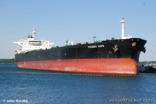
Vessel ONEIROI IMO: 9390587, MMSI: 352002241 Crude Oil Tanker
UTC, 2.49357, 101.50627, course: 125, speed: 10.6
UTC, 2.27167, 101.79167, course: -1, speed: 11
2026-03-05 09:30:51 UTC, 2.27167, 101.79167, course: -1, speed: 11
Live Vessel ONEIROI Analytics (details, animations, etc.)
Live AIS position: UTC. 15 nm S of PORT DICKSON), updated 2026-03-05 09:30:51 UTC.Find the position of the vessel ONEIROI on the map. The latter are known coordinates and path.
marine traffic ship tracker show on live map
The current position of vessel ONEIROI is 2.27167 lat / 101.79167 lng. Updated: 2026-03-05 09:30:51 UTCCurrently sailing under the flag of Panama
ONEIROI built in 2008 year
Deadweight:
105585 tDetails:
Last coordinates of the vessel:
UTC, 2.49357, 101.50627, course: 125, speed: 10.6UTC, 2.49357, 101.50627, course: 125, speed: 10.6
UTC, 2.27167, 101.79167, course: -1, speed: 11
2026-03-05 09:30:51 UTC, 2.27167, 101.79167, course: -1, speed: 11