 vesseltracker.com
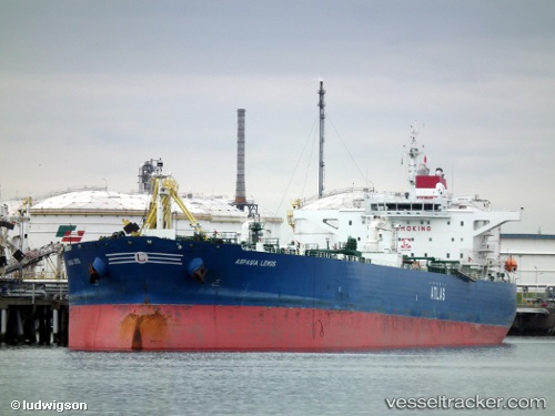
ANIKA
Current StatusLive Vessel ANIKA Analytics (details, animations, etc.)
Latest AIS update:
Current position: 9.63213° N, 68.16940° E (19 nm SW of Tinaquillo)
This page shows the vessel’s latest location, recent movement, and operational context from ShipInfo and TOPOS data.
Open the map below to view live position, track history, probable destinations, and nearby traffic.
The current position of vessel ANIKA is 9.63213 lat / 68.16940 lng. Updated: 2026-03-25 05:46:07 UTCNearest reference points:
- 98 nm S of Tinaquillo
- 119 nm SE of Tinaquillo
- 130 nm W of Lakshadweep
Currently sailing under the flag of Panama
Details:
Last coordinates of the vessel:
2026-03-24 23:38:20 UTC, 9.12150, 69.57948, course: 290, speed: 14.82026-03-25 00:48:29 UTC, 9.22263, 69.30570, course: 288, speed: 14.7
2026-03-25 03:58:48 UTC, 9.48050, 68.57293, course: 292, speed: 14.1
2026-03-25 05:46:07 UTC, 9.63213, 68.16940, course: 289, speed: 14.2