 vesseltracker.com
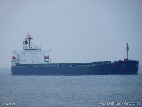
Vessel EAST KING IMO: 9204685, MMSI: 352003012 Bulk Carrier
UTC, 26.17326, 53.68935, course: 87, speed: 14.5
UTC, 26.18966, 54.45663, course: 86, speed: 14.4
2026-02-27 16:16:32 UTC, 26.15082, 54.90019, course: 96, speed: 14.4
Live AIS position:
UTC. 16 nm N of Abu Musa),
updated 2026-02-27 16:16:32 UTC.
Find the position of the vessel EAST KING on the map. The latter are known coordinates and path.
marine traffic ship tracker show on live map
The current position of vessel EAST KING is 26.15082 lat / 54.90019 lng. Updated: 2026-02-27 16:16:32 UTCCurrently sailing under the flag of Panama
Details:
Last coordinates of the vessel:
UTC, 26.16584, 53.23329, course: 88, speed: 14.2UTC, 26.17326, 53.68935, course: 87, speed: 14.5
UTC, 26.18966, 54.45663, course: 86, speed: 14.4
2026-02-27 16:16:32 UTC, 26.15082, 54.90019, course: 96, speed: 14.4