 vesseltracker.com
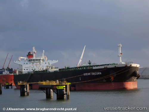
Vessel KHALISSA IMO: 9388780, MMSI: 352003056 Crude Oil Tanker
UTC, 1.24553, 103.77645, course: 318, speed: 7.2
2026-02-03 13:45:15 UTC, 1.24553, 103.77645, course: 318, speed: 7.2
Live AIS position:
UTC. Near Pasir Panjang Wharves),
updated 2026-02-03 13:45:15 UTC.
Find the position of the vessel KHALISSA on the map. The latter are known coordinates and path.
marine traffic ship tracker show on live map
The current position of vessel KHALISSA is 1.24553 lat / 103.77645 lng. Updated: 2026-02-03 13:45:15 UTCCurrently sailing under the flag of Panama
KHALISSA built in 2009 year
Deadweight:
108940 tDetails:
Last coordinates of the vessel:
UTC, 1.24553, 103.77645, course: 318, speed: 7.2UTC, 1.24553, 103.77645, course: 318, speed: 7.2
2026-02-03 13:45:15 UTC, 1.24553, 103.77645, course: 318, speed: 7.2