 vesseltracker.com
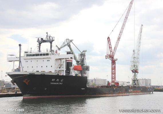
Vessel YAMATAI IMO: 9567714, MMSI: 352003158 Heavy Load Carrier
UTC, 51.90055, 4.37542, course: -1, speed: 0
UTC, 51.90053, 4.37544, course: 284, speed: 0
2026-03-01 17:35:45 UTC, 51.90056, 4.37541, course: 284, speed: 0
Live AIS position:
UTC. Near ROTTERDAM PERNIS),
updated 2026-03-01 17:35:45 UTC.
Find the position of the vessel YAMATAI on the map. The latter are known coordinates and path.
marine traffic ship tracker show on live map
The current position of vessel YAMATAI is 51.90056 lat / 4.37541 lng. Updated: 2026-03-01 17:35:45 UTCCurrently sailing under the flag of Panama
Details:
Last coordinates of the vessel:
UTC, 51.90056, 4.37544, course: -1, speed: 0UTC, 51.90055, 4.37542, course: -1, speed: 0
UTC, 51.90053, 4.37544, course: 284, speed: 0
2026-03-01 17:35:45 UTC, 51.90056, 4.37541, course: 284, speed: 0