 vesseltracker.com
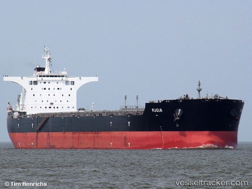
Vessel ELOS IMO: 9493872, MMSI: 352003340 Bulk Carrier
UTC, -8.87167, -30.59500, course: -1, speed: 12
UTC, -8.49376, -30.97008, course: 319, speed: 12.7
2026-02-26 07:30:29 UTC, -8.26614, -31.18160, course: 318, speed: 12.6
Live AIS position:
UTC. 218 nm E of Ilha de Itamaracá),
updated 2026-02-26 07:30:29 UTC.
Find the position of the vessel ELOS on the map. The latter are known coordinates and path.
marine traffic ship tracker show on live map
The current position of vessel ELOS is -8.26614 lat / -31.18160 lng. Updated: 2026-02-26 07:30:29 UTCCurrently sailing under the flag of Panama
Details:
Last coordinates of the vessel:
UTC, -9.20667, -30.28167, course: -1, speed: 12UTC, -8.87167, -30.59500, course: -1, speed: 12
UTC, -8.49376, -30.97008, course: 319, speed: 12.7
2026-02-26 07:30:29 UTC, -8.26614, -31.18160, course: 318, speed: 12.6