 vesseltracker.com
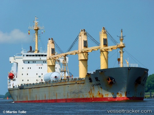
Vessel H CACHALOT IMO: 9192686, MMSI: 352003503 General Cargo
UTC, 29.91717, 123.39584, course: 0, speed: 11.5
UTC, 30.21766, 123.40097, course: 356, speed: 11.4
2026-03-01 21:12:07 UTC, 30.50432, 123.40982, course: -1, speed: 11
Live AIS position:
UTC. 45 nm SE of Lü-hua Shan),
updated 2026-03-01 21:12:07 UTC.
Find the position of the vessel H CACHALOT on the map. The latter are known coordinates and path.
marine traffic ship tracker show on live map
The current position of vessel H CACHALOT is 30.50432 lat / 123.40982 lng. Updated: 2026-03-01 21:12:07 UTCCurrently sailing under the flag of Panama
Details:
Last coordinates of the vessel:
UTC, 29.55667, 123.38167, course: -1, speed: 11UTC, 29.91717, 123.39584, course: 0, speed: 11.5
UTC, 30.21766, 123.40097, course: 356, speed: 11.4
2026-03-01 21:12:07 UTC, 30.50432, 123.40982, course: -1, speed: 11