 vesseltracker.com
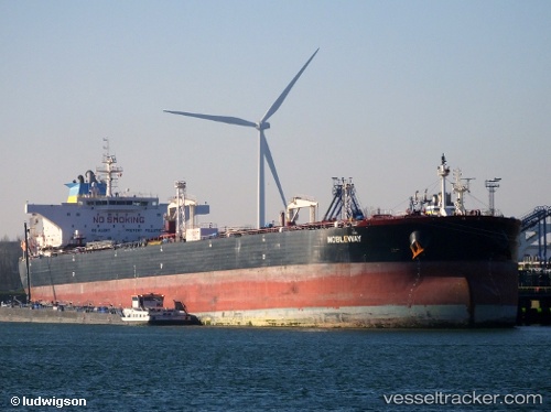
Vessel NEW LIBERTY IMO: 9411082, MMSI: 352003631 Crude Oil Tanker
UTC, 5.65369, 96.80106, course: 288, speed: 14.5
UTC, 5.77000, 96.31167, course: -1, speed: 14
2026-02-25 21:32:32 UTC, 6.00672, 95.31420, course: 275, speed: 15.1
Live AIS position:
UTC. Near Sebang),
updated 2026-02-25 21:32:32 UTC.
Find the position of the vessel NEW LIBERTY on the map. The latter are known coordinates and path.
marine traffic ship tracker show on live map
The current position of vessel NEW LIBERTY is 6.00672 lat / 95.31420 lng. Updated: 2026-02-25 21:32:32 UTCCurrently sailing under the flag of Panama
Details:
Last coordinates of the vessel:
UTC, 5.57474, 97.09067, course: 284, speed: 14.3UTC, 5.65369, 96.80106, course: 288, speed: 14.5
UTC, 5.77000, 96.31167, course: -1, speed: 14
2026-02-25 21:32:32 UTC, 6.00672, 95.31420, course: 275, speed: 15.1