 vesseltracker.com
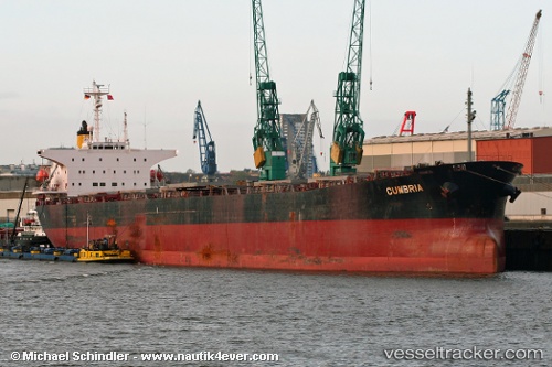
Vessel OCEANIC STAR IMO: 9102162, MMSI: 352003710 Bulk Carrier
UTC, 24.19667, 120.15667, course: -1, speed: 8
UTC, 24.42333, 120.17500, course: -1, speed: 8
2026-02-25 15:49:35 UTC, 24.66833, 120.04333, course: -1, speed: 9
Live AIS position:
UTC. 32 nm S of Xiaocuo Pt),
updated 2026-02-25 15:49:35 UTC.
Find the position of the vessel OCEANIC STAR on the map. The latter are known coordinates and path.
marine traffic ship tracker show on live map
The current position of vessel OCEANIC STAR is 24.66833 lat / 120.04333 lng. Updated: 2026-02-25 15:49:35 UTCCurrently sailing under the flag of Panama
Details:
Last coordinates of the vessel:
UTC, 23.98167, 120.01450, course: -1, speed: 7.4UTC, 24.19667, 120.15667, course: -1, speed: 8
UTC, 24.42333, 120.17500, course: -1, speed: 8
2026-02-25 15:49:35 UTC, 24.66833, 120.04333, course: -1, speed: 9