 vesseltracker.com
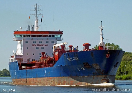
Vessel EOS T IMO: 9365477, MMSI: 352003753 Oil/Chemical Tanker
UTC, 6.04603, 1.25082, course: 173, speed: 0.1
UTC, 6.04613, 1.25080, course: 176, speed: 0.4
2026-02-21 17:45:09 UTC, 6.04617, 1.25074, course: 169, speed: 0.1
Live AIS position:
UTC. Near Lome),
updated 2026-02-21 17:45:09 UTC.
Find the position of the vessel EOS T on the map. The latter are known coordinates and path.
marine traffic ship tracker show on live map
The current position of vessel EOS T is 6.04617 lat / 1.25074 lng. Updated: 2026-02-21 17:45:09 UTCCurrently sailing under the flag of Panama
Details:
Last coordinates of the vessel:
UTC, 6.04596, 1.25096, course: 172, speed: 0.1UTC, 6.04603, 1.25082, course: 173, speed: 0.1
UTC, 6.04613, 1.25080, course: 176, speed: 0.4
2026-02-21 17:45:09 UTC, 6.04617, 1.25074, course: 169, speed: 0.1