 vesseltracker.com
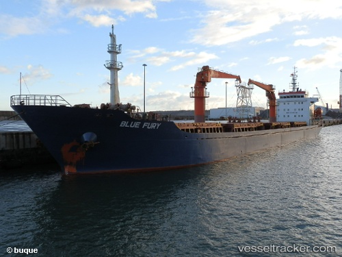
Vessel HOANG ANH IMO: 9540730, MMSI: 352003776 General Cargo
UTC, -31.86653, 29.77869, course: 38, speed: 3.3
UTC, -31.85052, 29.82417, course: 112, speed: 2.4
2026-02-26 07:13:22 UTC, -31.88539, 29.79740, course: -1, speed: 2.4
Live AIS position:
UTC. 20 nm SE of Port Saint John's),
updated 2026-02-26 07:13:22 UTC.
Find the position of the vessel HOANG ANH on the map. The latter are known coordinates and path.
marine traffic ship tracker show on live map
The current position of vessel HOANG ANH is -31.88539 lat / 29.79740 lng. Updated: 2026-02-26 07:13:22 UTCCurrently sailing under the flag of Panama
Details:
Last coordinates of the vessel:
UTC, -31.96907, 29.63832, course: 42, speed: 3.6UTC, -31.86653, 29.77869, course: 38, speed: 3.3
UTC, -31.85052, 29.82417, course: 112, speed: 2.4
2026-02-26 07:13:22 UTC, -31.88539, 29.79740, course: -1, speed: 2.4