 vesseltracker.com
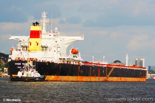
Vessel HIGHLAND IMO: 9339181, MMSI: 352004068 Bulk Carrier
UTC, -23.23932, -43.97572, course: 98, speed: 0
UTC, -23.23833, -43.97500, course: -1, speed: 0
2026-03-11 18:08:43 UTC, -23.23908, -43.97548, course: 103, speed: 0.3
Live Vessel HIGHLAND Analytics (details, animations, etc.)
Live AIS position: UTC. 14 nm S of ILHA GUAIBA), updated 2026-03-11 18:08:43 UTC.Find the position of the vessel HIGHLAND on the map. The latter are known coordinates and path.
marine traffic ship tracker show on live map
The current position of vessel HIGHLAND is -23.23908 lat / -43.97548 lng. Updated: 2026-03-11 18:08:43 UTCCurrently sailing under the flag of Panama
Details:
Last coordinates of the vessel:
UTC, -23.23910, -43.97567, course: 103, speed: 0.2UTC, -23.23932, -43.97572, course: 98, speed: 0
UTC, -23.23833, -43.97500, course: -1, speed: 0
2026-03-11 18:08:43 UTC, -23.23908, -43.97548, course: 103, speed: 0.3