 vesseltracker.com
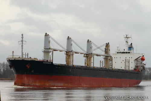
Vessel LADY NANA IMO: 9364849, MMSI: 352004134 Bulk Carrier
UTC, 27.62583, 121.77795, course: 30, speed: 11
UTC, 28.07560, 122.07140, course: 28, speed: 9.5
2026-02-27 03:35:31 UTC, 28.27805, 122.19336, course: 20, speed: 9
Live AIS position:
UTC. 14 nm SE of Wenling Longmen Port),
updated 2026-02-27 03:35:31 UTC.
Find the position of the vessel LADY NANA on the map. The latter are known coordinates and path.
marine traffic ship tracker show on live map
The current position of vessel LADY NANA is 28.27805 lat / 122.19336 lng. Updated: 2026-02-27 03:35:31 UTCCurrently sailing under the flag of Panama
Details:
Last coordinates of the vessel:
UTC, 26.98395, 121.33082, course: 33, speed: 10.5UTC, 27.62583, 121.77795, course: 30, speed: 11
UTC, 28.07560, 122.07140, course: 28, speed: 9.5
2026-02-27 03:35:31 UTC, 28.27805, 122.19336, course: 20, speed: 9