 vesseltracker.com
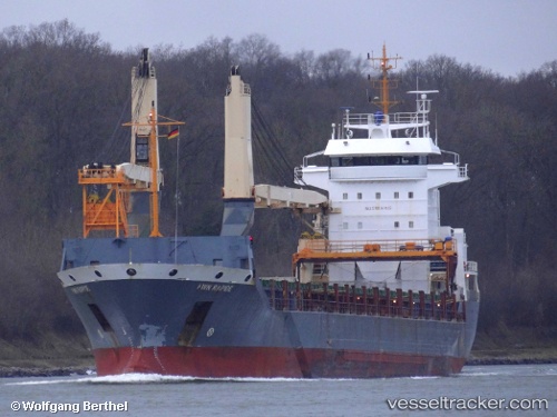
Vessel LADY LUCIANA IMO: 9320520, MMSI: 352004221 General Cargo
UTC, 50.90667, -1.43500, course: -1, speed: 0
UTC, 50.90667, -1.43500, course: -1, speed: 0
2026-03-05 09:20:30 UTC, 50.90673, -1.43533, course: 118, speed: 0
Live Vessel LADY LUCIANA Analytics (details, animations, etc.)
Live AIS position: UTC. Near Marchwood), updated 2026-03-05 09:20:30 UTC.Find the position of the vessel LADY LUCIANA on the map. The latter are known coordinates and path.
marine traffic ship tracker show on live map
The current position of vessel LADY LUCIANA is 50.90673 lat / -1.43533 lng. Updated: 2026-03-05 09:20:30 UTCCurrently sailing under the flag of Panama
Details:
Last coordinates of the vessel:
UTC, 50.90670, -1.43533, course: -1, speed: 0UTC, 50.90667, -1.43500, course: -1, speed: 0
UTC, 50.90667, -1.43500, course: -1, speed: 0
2026-03-05 09:20:30 UTC, 50.90673, -1.43533, course: 118, speed: 0