 vesseltracker.com
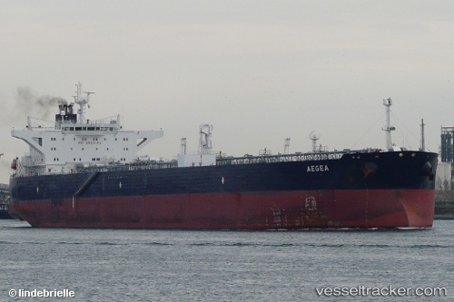
Vessel SAND IMO: 9379612, MMSI: 352004827 Oil Products Tanker
UTC, 24.17085, 61.22201, course: 283, speed: 12.3
UTC, 24.26810, 60.79846, course: 285, speed: 12.1
2026-02-27 23:41:06 UTC, 24.34285, 60.51350, course: -1, speed: 12.2
Live AIS position:
UTC. 57 nm S of Chabahar),
updated 2026-02-27 23:41:06 UTC.
Find the position of the vessel SAND on the map. The latter are known coordinates and path.
marine traffic ship tracker show on live map
The current position of vessel SAND is 24.34285 lat / 60.51350 lng. Updated: 2026-02-27 23:41:06 UTCCurrently sailing under the flag of Panama
Details:
Last coordinates of the vessel:
UTC, 24.17085, 61.22201, course: 283, speed: 12.3UTC, 24.17085, 61.22201, course: 283, speed: 12.3
UTC, 24.26810, 60.79846, course: 285, speed: 12.1
2026-02-27 23:41:06 UTC, 24.34285, 60.51350, course: -1, speed: 12.2