 vesseltracker.com
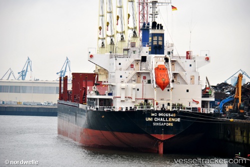
Vessel BAO LONG IMO: 9606546, MMSI: 352005001 Bulk Carrier
UTC, 5.86527, -55.09399, course: 54, speed: 0.6
UTC, 5.86460, -55.09201, course: 3, speed: 0
2026-02-25 14:22:26 UTC, 5.86464, -55.09202, course: 6, speed: 0
Live AIS position:
UTC. Near Nieuw Amsterdam),
updated 2026-02-25 14:22:26 UTC.
Find the position of the vessel BAO LONG on the map. The latter are known coordinates and path.
marine traffic ship tracker show on live map
The current position of vessel BAO LONG is 5.86464 lat / -55.09202 lng. Updated: 2026-02-25 14:22:26 UTCCurrently sailing under the flag of Panama
Details:
Last coordinates of the vessel:
UTC, 5.86859, -55.09337, course: 157, speed: 0.1UTC, 5.86527, -55.09399, course: 54, speed: 0.6
UTC, 5.86460, -55.09201, course: 3, speed: 0
2026-02-25 14:22:26 UTC, 5.86464, -55.09202, course: 6, speed: 0