 vesseltracker.com
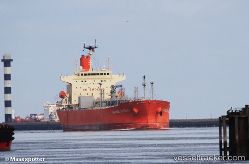
Vessel GRANDE RIVIERE IMO: 9733686, MMSI: 352005358 Tanker
UTC, 51.83963, -8.31791, course: 70, speed: 6.9
UTC, 51.70956, -8.03252, course: 85, speed: 14.3
2026-03-09 20:27:52 UTC, 51.86446, -7.09841, course: 75, speed: 14
Live Vessel GRANDE RIVIERE Analytics (details, animations, etc.)
Live AIS position: UTC. 18 nm S of DUNMORE EAST), updated 2026-03-09 20:27:52 UTC.Find the position of the vessel GRANDE RIVIERE on the map. The latter are known coordinates and path.
marine traffic ship tracker show on live map
The current position of vessel GRANDE RIVIERE is 51.86446 lat / -7.09841 lng. Updated: 2026-03-09 20:27:52 UTCCurrently sailing under the flag of Panama
Details:
Last coordinates of the vessel:
UTC, 51.87635, -8.33279, course: 144, speed: 0UTC, 51.83963, -8.31791, course: 70, speed: 6.9
UTC, 51.70956, -8.03252, course: 85, speed: 14.3
2026-03-09 20:27:52 UTC, 51.86446, -7.09841, course: 75, speed: 14