 vesseltracker.com
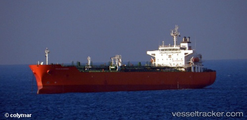
Vessel ELORA 1 IMO: 9295311, MMSI: 352005467 Oil/Chemical Tanker
UTC, 8.33333, 74.49166, course: -1, speed: 9
UTC, 8.46333, 74.19667, course: -1, speed: 9
2026-02-25 16:26:34 UTC, 8.64500, 73.80167, course: -1, speed: 9
Live AIS position:
UTC. 86 nm S of Kalpeni Island),
updated 2026-02-25 16:26:34 UTC.
Find the position of the vessel ELORA 1 on the map. The latter are known coordinates and path.
marine traffic ship tracker show on live map
The current position of vessel ELORA 1 is 8.64500 lat / 73.80167 lng. Updated: 2026-02-25 16:26:34 UTCCurrently sailing under the flag of Panama
Details:
Last coordinates of the vessel:
UTC, 8.20537, 74.79198, course: 295, speed: 9.4UTC, 8.33333, 74.49166, course: -1, speed: 9
UTC, 8.46333, 74.19667, course: -1, speed: 9
2026-02-25 16:26:34 UTC, 8.64500, 73.80167, course: -1, speed: 9