 vesseltracker.com
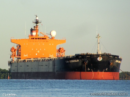
Vessel YOUNGER IMO: 9287132, MMSI: 352005744 Bulk Carrier
UTC, 55.15644, 13.66104, course: 93, speed: 12.5
UTC, 55.16257, 14.15009, course: 90, speed: 12.4
2026-03-22 23:47:41 UTC, 55.40570, 14.72297, course: 60, speed: 12.6
Live Vessel YOUNGER Analytics (details, animations, etc.)
Live AIS position: UTC. Near Hammerhavn), updated 2026-03-22 23:47:41 UTC.Find the position of the vessel YOUNGER on the map. The latter are known coordinates and path.
marine traffic ship tracker show on live map
The current position of vessel YOUNGER is 55.40570 lat / 14.72297 lng. Updated: 2026-03-22 23:47:41 UTCCurrently sailing under the flag of Panama
Details:
Last coordinates of the vessel:
UTC, 55.28878, 12.67499, course: 110, speed: 12.1UTC, 55.15644, 13.66104, course: 93, speed: 12.5
UTC, 55.16257, 14.15009, course: 90, speed: 12.4
2026-03-22 23:47:41 UTC, 55.40570, 14.72297, course: 60, speed: 12.6