 vesseltracker.com
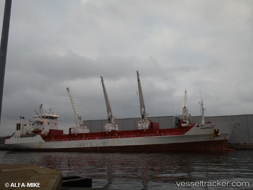
Vessel HARENGUS IMO: 8920983, MMSI: 352005985 Reefer
UTC, 46.69323, -11.00340, course: 358, speed: 11.3
UTC, 47.11663, -11.00097, course: 354, speed: 12.3
2026-02-28 07:58:04 UTC, 47.11663, -11.00097, course: 354, speed: 12.3
Live AIS position:
UTC. 65 nm SE of Brady),
updated 2026-02-28 07:58:04 UTC.
Find the position of the vessel HARENGUS on the map. The latter are known coordinates and path.
marine traffic ship tracker show on live map
The current position of vessel HARENGUS is 47.11663 lat / -11.00097 lng. Updated: 2026-02-28 07:58:04 UTCCurrently sailing under the flag of Panama
Details:
Last coordinates of the vessel:
UTC, 46.32805, -11.00111, course: 355, speed: 6.9UTC, 46.69323, -11.00340, course: 358, speed: 11.3
UTC, 47.11663, -11.00097, course: 354, speed: 12.3
2026-02-28 07:58:04 UTC, 47.11663, -11.00097, course: 354, speed: 12.3