 vesseltracker.com
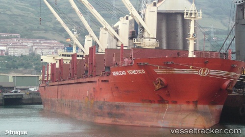
Vessel NEPTUNE HP66 IMO: 9640413, MMSI: 352006198 Bulk Carrier
UTC, 10.35167, 107.03500, course: -1, speed: 0
UTC, 10.35127, 107.03699, course: 41, speed: 0.3
2026-03-15 22:04:02 UTC, 10.35095, 107.03724, course: 26, speed: 0.1
Live Vessel NEPTUNE HP66 Analytics (details, animations, etc.)
Live AIS position: UTC. Near Cape Saint Jacques), updated 2026-03-15 22:04:02 UTC.Find the position of the vessel NEPTUNE HP66 on the map. The latter are known coordinates and path.
marine traffic ship tracker show on live map
The current position of vessel NEPTUNE HP66 is 10.35095 lat / 107.03724 lng. Updated: 2026-03-15 22:04:02 UTCCurrently sailing under the flag of Panama
Details:
Last coordinates of the vessel:
UTC, 10.35305, 107.03646, course: 96, speed: 0.3UTC, 10.35167, 107.03500, course: -1, speed: 0
UTC, 10.35127, 107.03699, course: 41, speed: 0.3
2026-03-15 22:04:02 UTC, 10.35095, 107.03724, course: 26, speed: 0.1