 vesseltracker.com
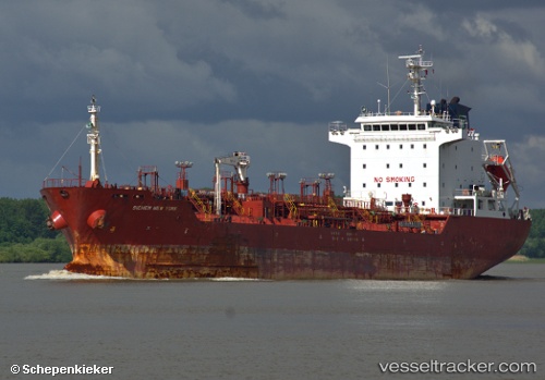
Vessel 352978276 IMO: 9337834, MMSI: 352978276
UTC, 2.96440, 100.87805, course: 314, speed: 12.3
UTC, 3.31422, 100.62835, course: 333, speed: 12.5
2026-01-29 08:09:42 UTC, 3.72285, 100.41233, course: 332, speed: 13.3
Live AIS position:
UTC. 25 nm SE of Pulau Jarak),
updated 2026-01-29 08:09:42 UTC.
Find the position of the vessel 352978276 on the map. The latter are known coordinates and path.
marine traffic ship tracker show on live map
The current position of vessel 352978276 is 3.72285 lat / 100.41233 lng. Updated: 2026-01-29 08:09:42 UTCDetails:
Last coordinates of the vessel:
UTC, 2.76653, 101.14232, course: 302, speed: 13.5UTC, 2.96440, 100.87805, course: 314, speed: 12.3
UTC, 3.31422, 100.62835, course: 333, speed: 12.5
2026-01-29 08:09:42 UTC, 3.72285, 100.41233, course: 332, speed: 13.3