 vesseltracker.com
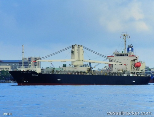
Vessel ALAHAS IMO: 9519597, MMSI: 352999793 General Cargo
UTC, 10.24071, 107.04265, course: 66, speed: 0
UTC, 10.24049, 107.04268, course: 55, speed: 0
2026-02-25 17:58:11 UTC, 10.24065, 107.04259, course: 69, speed: 0.1
Live AIS position:
UTC. Near Cape St. Jacques),
updated 2026-02-25 17:58:11 UTC.
Find the position of the vessel ALAHAS on the map. The latter are known coordinates and path.
marine traffic ship tracker show on live map
The current position of vessel ALAHAS is 10.24065 lat / 107.04259 lng. Updated: 2026-02-25 17:58:11 UTCCurrently sailing under the flag of Panama
Details:
Last coordinates of the vessel:
UTC, 10.24080, 107.04258, course: 75, speed: 0.2UTC, 10.24071, 107.04265, course: 66, speed: 0
UTC, 10.24049, 107.04268, course: 55, speed: 0
2026-02-25 17:58:11 UTC, 10.24065, 107.04259, course: 69, speed: 0.1