 vesseltracker.com
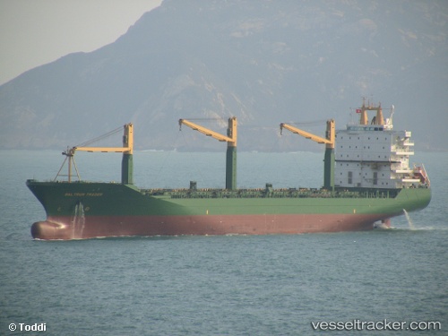
Vessel LOA PEACE IMO: 9138317, MMSI: 354021000 Container Ship
UTC, 20.24412, 68.32777, course: 300, speed: 14.5
UTC, 20.26238, 68.28899, course: 300, speed: 14.6
2026-02-18 09:27:52 UTC, 20.64278, 67.50167, course: 298, speed: 14
Live AIS position:
UTC. 141 nm SW of Positra),
updated 2026-02-18 09:27:52 UTC.
Find the position of the vessel LOA PEACE on the map. The latter are known coordinates and path.
marine traffic ship tracker show on live map
The current position of vessel LOA PEACE is 20.64278 lat / 67.50167 lng. Updated: 2026-02-18 09:27:52 UTCCurrently sailing under the flag of Panama
LOA PEACE built in 1999 year
Deadweight:
34017 tDetails:
Last coordinates of the vessel:
UTC, 20.05939, 68.74432, course: 294, speed: 14.9UTC, 20.24412, 68.32777, course: 300, speed: 14.5
UTC, 20.26238, 68.28899, course: 300, speed: 14.6
2026-02-18 09:27:52 UTC, 20.64278, 67.50167, course: 298, speed: 14