 vesseltracker.com
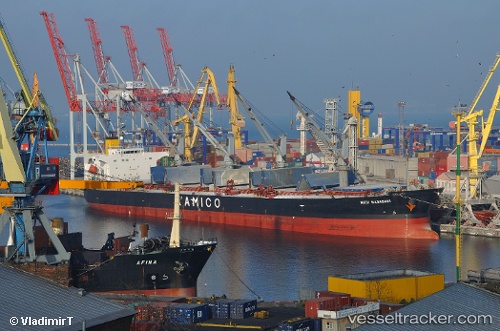
Vessel Nota A IMO: 9249271, MMSI: 354432000 Bulk Carrier
UTC, 43.25846, 35.42535, course: 261, speed: 2
UTC, 43.28833, 35.36167, course: -1, speed: 3
2026-02-15 19:35:35 UTC, 43.28833, 35.36167, course: -1, speed: 3
Live AIS position:
UTC. 77 nm N of Sinop),
updated 2026-02-15 19:35:35 UTC.
Find the position of the vessel Nota A on the map. The latter are known coordinates and path.
marine traffic ship tracker show on live map
The current position of vessel Nota A is 43.28833 lat / 35.36167 lng. Updated: 2026-02-15 19:35:35 UTCDetails:
Last coordinates of the vessel:
UTC, 43.25846, 35.42535, course: 261, speed: 2UTC, 43.25846, 35.42535, course: 261, speed: 2
UTC, 43.28833, 35.36167, course: -1, speed: 3
2026-02-15 19:35:35 UTC, 43.28833, 35.36167, course: -1, speed: 3