 vesseltracker.com
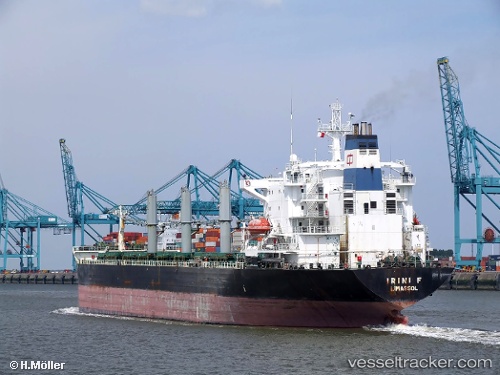
Vessel Petra I IMO: 8902462, MMSI: 354669000 Bulk Carrier
UTC, 9.51638, -13.72007, course: 217, speed: 4.6
UTC, 9.41952, -13.84986, course: 334, speed: 8.1
2026-02-25 17:38:51 UTC, 9.59833, -13.90833, course: -1, speed: 0
Live AIS position:
UTC. 12 nm NW of Conakry),
updated 2026-02-25 17:38:51 UTC.
Find the position of the vessel Petra I on the map. The latter are known coordinates and path.
marine traffic ship tracker show on live map
The current position of vessel Petra I is 9.59833 lat / -13.90833 lng. Updated: 2026-02-25 17:38:51 UTCCurrently sailing under the flag of Panama
Petra I built in 1991 year
Deadweight:
42263 tDetails:
Last coordinates of the vessel:
UTC, 9.51833, -13.71333, course: -1, speed: 0UTC, 9.51638, -13.72007, course: 217, speed: 4.6
UTC, 9.41952, -13.84986, course: 334, speed: 8.1
2026-02-25 17:38:51 UTC, 9.59833, -13.90833, course: -1, speed: 0