 vesseltracker.com
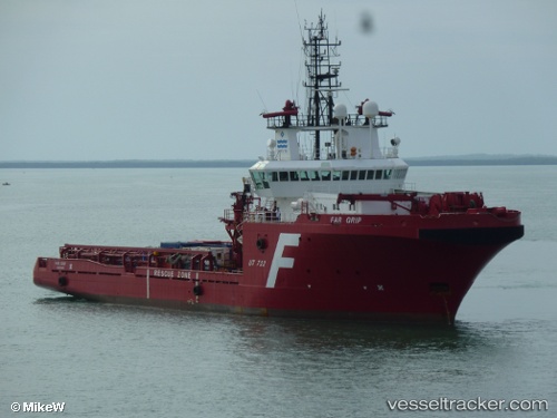
Vessel Sea Meadow 29 IMO: 9060352, MMSI: 354765000 Offshore Tug Supply Ship
UTC, 10.37065, 107.04131, course: 168, speed: 9
UTC, 10.16626, 107.16727, course: 142, speed: 7
2026-02-28 14:10:58 UTC, 9.95963, 107.33546, course: 151, speed: 7
Live AIS position:
UTC. 28 nm SE of Cape St. Jacques),
updated 2026-02-28 14:10:58 UTC.
Find the position of the vessel Sea Meadow 29 on the map. The latter are known coordinates and path.
marine traffic ship tracker show on live map
The current position of vessel Sea Meadow 29 is 9.95963 lat / 107.33546 lng. Updated: 2026-02-28 14:10:58 UTCDetails:
Last coordinates of the vessel:
UTC, 10.39096, 107.08375, course: 111, speed: 0UTC, 10.37065, 107.04131, course: 168, speed: 9
UTC, 10.16626, 107.16727, course: 142, speed: 7
2026-02-28 14:10:58 UTC, 9.95963, 107.33546, course: 151, speed: 7