 vesseltracker.com
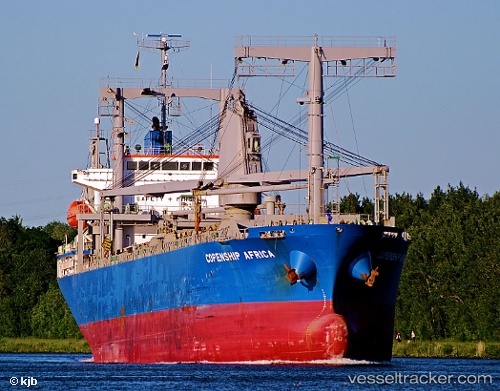
Vessel ROSEMARY I IMO: 9523574, MMSI: 355532000 General Cargo Ship
UTC, -19.88833, 35.07500, course: -1, speed: 0
UTC, -19.88833, 35.07500, course: -1, speed: 0
2026-02-28 21:25:22 UTC, -19.88833, 35.07500, course: -1, speed: 0
Live AIS position:
UTC. 15 nm E of Beira),
updated 2026-02-28 21:25:22 UTC.
Find the position of the vessel ROSEMARY I on the map. The latter are known coordinates and path.
marine traffic ship tracker show on live map
The current position of vessel ROSEMARY I is -19.88833 lat / 35.07500 lng. Updated: 2026-02-28 21:25:22 UTCCurrently sailing under the flag of Panama
ROSEMARY I built in 2010 year
Deadweight:
13325 tDetails:
Last coordinates of the vessel:
UTC, -19.88667, 35.07667, course: -1, speed: 0UTC, -19.88833, 35.07500, course: -1, speed: 0
UTC, -19.88833, 35.07500, course: -1, speed: 0
2026-02-28 21:25:22 UTC, -19.88833, 35.07500, course: -1, speed: 0