 vesseltracker.com
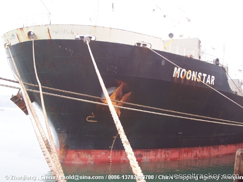
Vessel BOZBURUN M IMO: 9237204, MMSI: 355671000 Bulk Carrier
UTC, 12.53737, 43.57108, course: 291, speed: 12.1
UTC, 13.00544, 43.17916, course: 335, speed: 12.6
2026-02-26 07:32:50 UTC, 13.26500, 43.04500, course: -1, speed: 11
Live AIS position:
UTC. 11 nm W of Al Mukha),
updated 2026-02-26 07:32:50 UTC.
Find the position of the vessel BOZBURUN M on the map. The latter are known coordinates and path.
marine traffic ship tracker show on live map
The current position of vessel BOZBURUN M is 13.26500 lat / 43.04500 lng. Updated: 2026-02-26 07:32:50 UTCCurrently sailing under the flag of Panama
BOZBURUN M built in 2001 year
Deadweight:
50212 tDetails:
Last coordinates of the vessel:
UTC, 12.46333, 43.74667, course: -1, speed: 11UTC, 12.53737, 43.57108, course: 291, speed: 12.1
UTC, 13.00544, 43.17916, course: 335, speed: 12.6
2026-02-26 07:32:50 UTC, 13.26500, 43.04500, course: -1, speed: 11