 vesseltracker.com
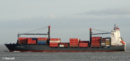
Vessel MSC Makoto II IMO: 9236212, MMSI: 355776000 Container Ship
UTC, 17.42637, 71.86119, course: 131, speed: 15.5
UTC, 17.08759, 72.21333, course: 138, speed: 15.7
2026-02-05 03:29:39 UTC, 16.78724, 72.52150, course: 134, speed: 15.1
Live AIS position:
UTC. 45 nm W of RATNAGIRI),
updated 2026-02-05 03:29:39 UTC.
Find the position of the vessel MSC Makoto II on the map. The latter are known coordinates and path.
marine traffic ship tracker show on live map
The current position of vessel MSC Makoto II is 16.78724 lat / 72.52150 lng. Updated: 2026-02-05 03:29:39 UTCCurrently sailing under the flag of Panama
Details:
Last coordinates of the vessel:
UTC, 17.84461, 71.43093, course: 130, speed: 16UTC, 17.42637, 71.86119, course: 131, speed: 15.5
UTC, 17.08759, 72.21333, course: 138, speed: 15.7
2026-02-05 03:29:39 UTC, 16.78724, 72.52150, course: 134, speed: 15.1