 vesseltracker.com
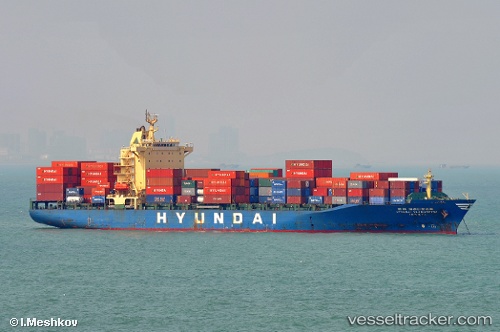
Vessel Vladivostok IMO: 9149823, MMSI: 356217000 Container Ship
UTC, 1.39839, 104.46665, course: 49, speed: 16.1
UTC, 1.78671, 104.81471, course: 32, speed: 17.3
2026-02-06 13:45:16 UTC, 2.40152, 105.05161, course: 11, speed: 16.4
Live AIS position:
UTC. 83 nm NE of PENGERANG),
updated 2026-02-06 13:45:16 UTC.
Find the position of the vessel Vladivostok on the map. The latter are known coordinates and path.
marine traffic ship tracker show on live map
The current position of vessel Vladivostok is 2.40152 lat / 105.05161 lng. Updated: 2026-02-06 13:45:16 UTCDetails:
Last coordinates of the vessel:
UTC, 1.24953, 104.09735, course: 80, speed: 13.1UTC, 1.39839, 104.46665, course: 49, speed: 16.1
UTC, 1.78671, 104.81471, course: 32, speed: 17.3
2026-02-06 13:45:16 UTC, 2.40152, 105.05161, course: 11, speed: 16.4