 vesseltracker.com
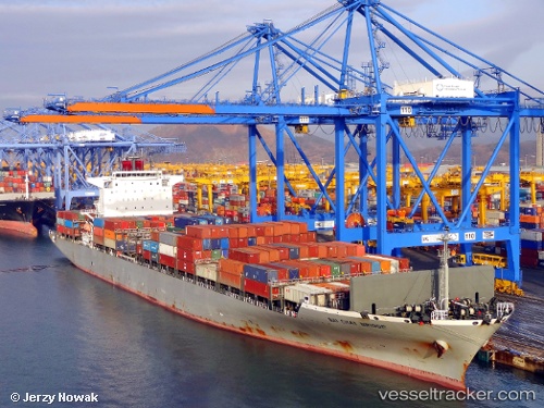
Vessel Bai Chay Bridge IMO: 9463346, MMSI: 356352000 Container Ship
UTC, -27.72333, 38.80500, course: -1, speed: 16
UTC, -27.58675, 39.55861, course: 75, speed: 16.6
2026-01-30 08:13:22 UTC, -27.46709, 40.19915, course: 81, speed: 16.3
Live AIS position:
UTC. 310 nm SW of Tulear),
updated 2026-01-30 08:13:22 UTC.
Find the position of the vessel Bai Chay Bridge on the map. The latter are known coordinates and path.
marine traffic ship tracker show on live map
The current position of vessel Bai Chay Bridge is -27.46709 lat / 40.19915 lng. Updated: 2026-01-30 08:13:22 UTCDetails:
Last coordinates of the vessel:
UTC, -27.82144, 38.27290, course: 77, speed: 17.3UTC, -27.72333, 38.80500, course: -1, speed: 16
UTC, -27.58675, 39.55861, course: 75, speed: 16.6
2026-01-30 08:13:22 UTC, -27.46709, 40.19915, course: 81, speed: 16.3