 vesseltracker.com
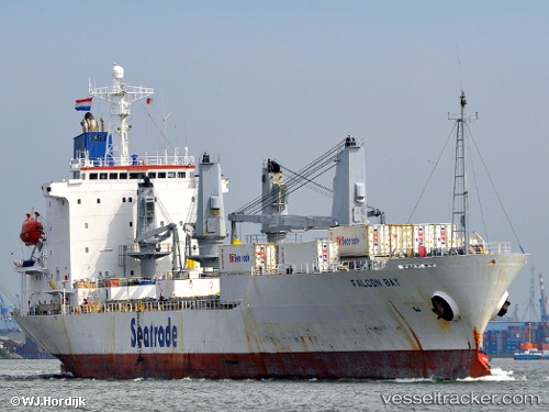
Vessel HE TAI IMO: 9070137, MMSI: 356399000 Refrigerated Cargo Ship
UTC, 10.77776, -166.23633, course: 102, speed: 12.7
UTC, 10.65618, -165.70967, course: 105, speed: 12.8
2026-02-22 19:59:49 UTC, 10.56387, -165.32527, course: 103, speed: 13
Live AIS position:
UTC. 370 nm E of Bajo Grande),
updated 2026-02-22 19:59:49 UTC.
Find the position of the vessel HE TAI on the map. The latter are known coordinates and path.
marine traffic ship tracker show on live map
The current position of vessel HE TAI is 10.56387 lat / -165.32527 lng. Updated: 2026-02-22 19:59:49 UTCCurrently sailing under the flag of Panama
HE TAI built in 1993 year
Deadweight:
10532 tDetails:
Last coordinates of the vessel:
UTC, 10.86728, -166.61446, course: 103, speed: 12.5UTC, 10.77776, -166.23633, course: 102, speed: 12.7
UTC, 10.65618, -165.70967, course: 105, speed: 12.8
2026-02-22 19:59:49 UTC, 10.56387, -165.32527, course: 103, speed: 13