 vesseltracker.com
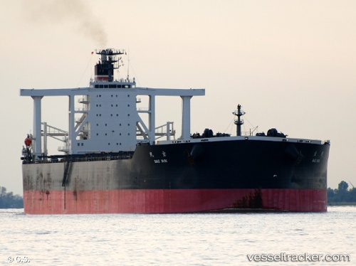
Vessel Bao Min IMO: 9565510, MMSI: 356480000 Ore Carrier
UTC, -12.83418, 108.80391, course: 63, speed: 9.4
UTC, -12.71639, 109.04072, course: 63, speed: 9.8
2026-02-15 02:15:28 UTC, -12.52856, 109.42702, course: 60, speed: 9.2
Live AIS position:
UTC. 252 nm SE of Flying Fish Cove),
updated 2026-02-15 02:15:28 UTC.
Find the position of the vessel Bao Min on the map. The latter are known coordinates and path.
marine traffic ship tracker show on live map
The current position of vessel Bao Min is -12.52856 lat / 109.42702 lng. Updated: 2026-02-15 02:15:28 UTCDetails:
Last coordinates of the vessel:
UTC, -12.97093, 108.52488, course: 66, speed: 9.1UTC, -12.83418, 108.80391, course: 63, speed: 9.4
UTC, -12.71639, 109.04072, course: 63, speed: 9.8
2026-02-15 02:15:28 UTC, -12.52856, 109.42702, course: 60, speed: 9.2